International Students
Admission is now open for Master's programmes taught in English!
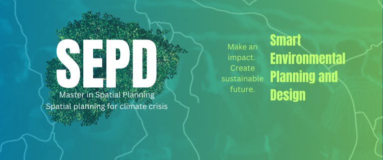
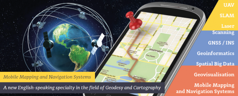
At the Faculty of Geodesy and Cartography, we offer two specialisations: MMNS and a new one – SEPD (Smart Environmental Planning and Design) within the field of Spatial Planning.
The SEPD programme begins in the winter semester, starting in September. The admission process opens in May 2026, while recruitment for Polish candidates will start in August 2026.
The MMNS programme, in turn, begins in the summer semester, starting in February 2027.
We warmly encourage you to continue your education at the second-cycle (Master’s) level with us!
More information about the Master's programmes taught in English at our Faculty, as well as a detailed admission schedule (available under the Admissions and Contact tab), can be found on the websites of the respective specialisations:
We warmly invite you to pursue a Master’s degree in English at our Faculty!